 UAS
UAS
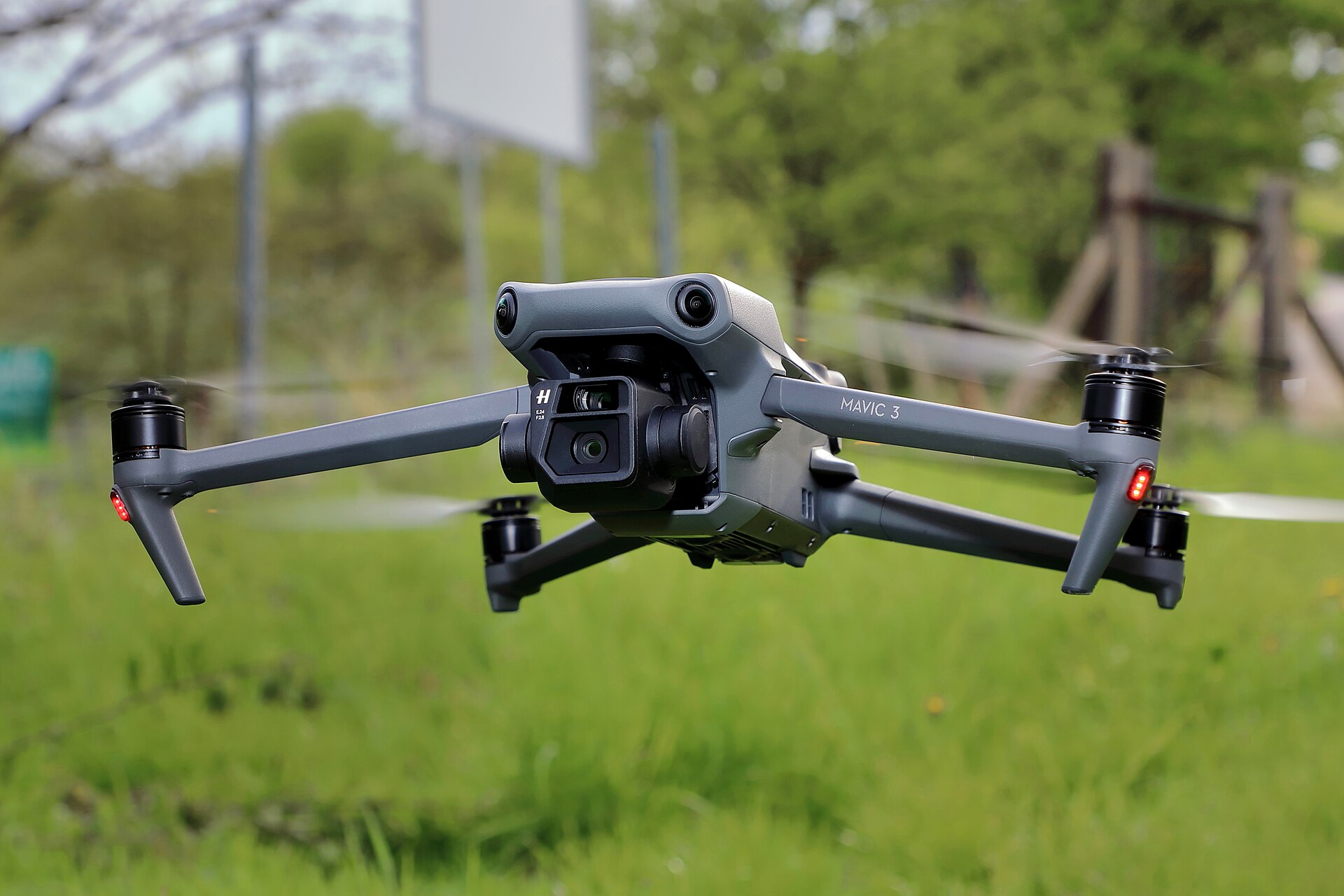
DJI Mavic 3
Rapid single-roof capture
- Sensor20 MP Hasselblad main camera
- MissionSpot captures, steep-slope detail
- ClassCompact UAS
Commercial Division
Neighborhood-scale roof intelligence for roofing companies and insurance carriers. One capture program replaces weeks of drive-by inspection — and grades every roof it passes.
The Brief
Stop burning crew hours on drive-bys. Fly it once. Know every roof.
A truck crew canvassing streets covers a few hundred roofs a day and still misses damage the eye cannot resolve from the curb. One V&M aircraft covers the same ground in a single flight window — capturing every roof plane at sub-inch resolution and grading each one before your team leaves the office.

For Roofing Companies

One flight window covers the neighborhood. UAS and manned platforms fly systematic orthomosaic passes at sub-inch ground sample distance — every roof plane, every slope, every penetration recorded in a single sortie.
The V&M ATLAS platform runs AI damage detection across the mosaic. Hail impact, wind creasing, lifted shingles, and exposed matting are flagged per roof and scored for severity — no ladders, no drive-bys, no guessing.
Your sales team stops canvassing blind. ATLAS routes reps only to damaged, qualified roofs. Every knock is a lead. The fuel, hours, and payroll spent idling past healthy shingles come off your cost of sale.
Quotes come off the imagery, not off a ladder. Reps price the job on site from high-resolution captures — accurate squares, accurate slopes, accurate numbers. Fewer callbacks, tighter margins, faster signatures.
The Software Layer

ATLAS is proprietary V&M software — developed, maintained, and flown by the same team that operates the aircraft. Capture, processing, and analysis run in one pipeline, with no third-party hand-offs.
Built-in AI assistance flags hail, wind, and wear signatures on every roof in the capture, then compiles an address-level report — damage class, severity score, and annotated imagery for each structure.
Orthomosaics, per-roof reports, and claim-ready evidence packets export in standard formats. Your imagery loads into the estimating, CRM, and claims tools you already run — not a walled garden.
For Insurance Carriers


Pre-Storm Baseline Archive
Scheduled baseline flights over insured portfolios build a date-stamped, geo-referenced record of roof condition — captured in calm weather, before any claim exists.

Claim Verification
When the claim arrives, adjusters compare the post-event capture against the baseline. The question of whether damage pre-existed a given storm stops being an argument and becomes a lookup.
Coverage Doctrine
Whole neighborhoods in a single flight window.
Commercial Fleet
Scroll to traverse the flight line →
UAS
Rapid single-roof capture
 UAS
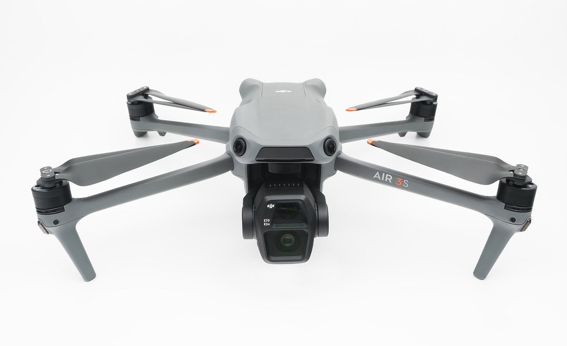
UAS
Infill & tight-lot capture
 UAS
UAS
Thermal & zoom inspection
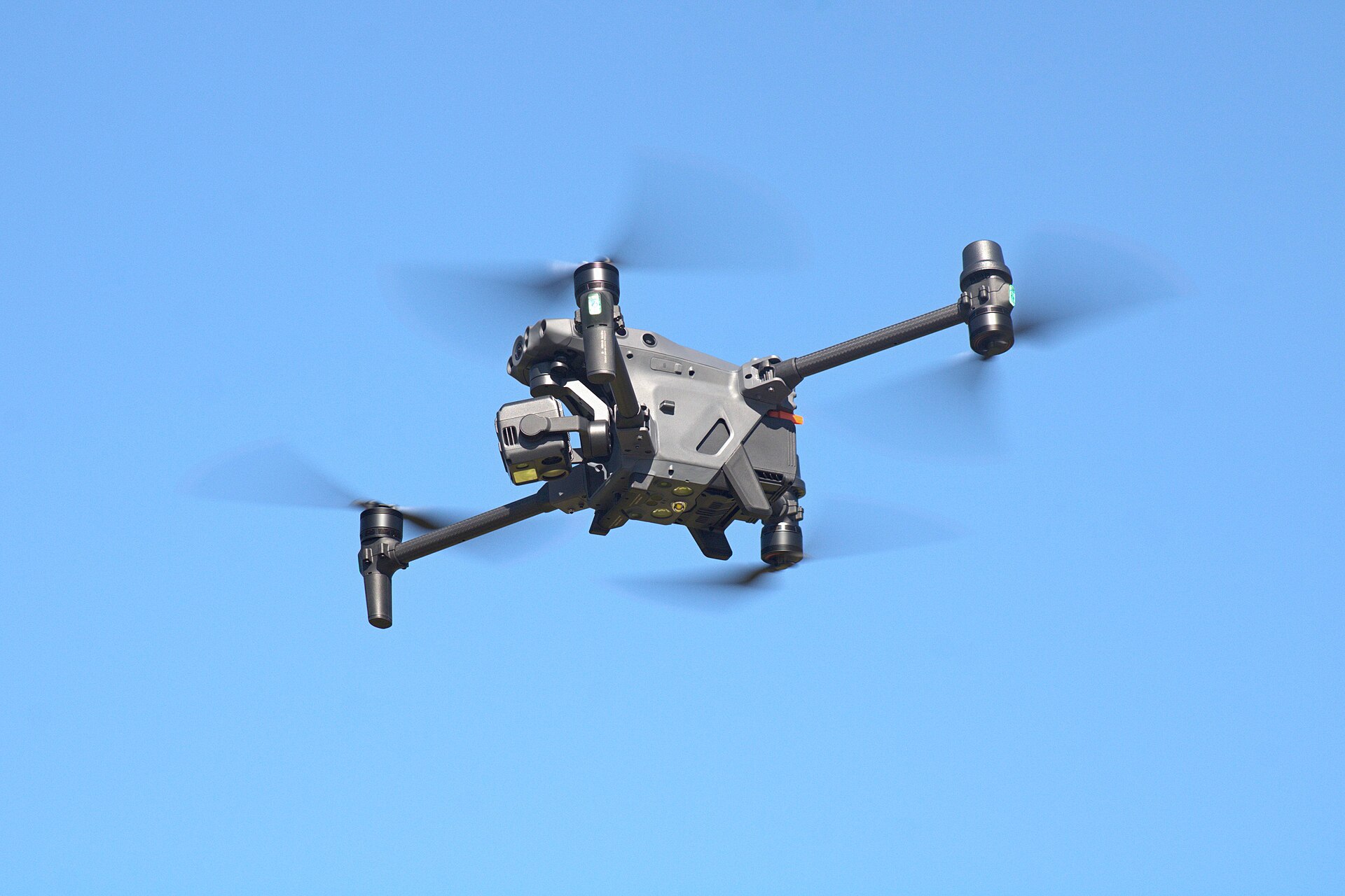
 UAS
UAS
Neighborhood ortho workhorse
 UAS
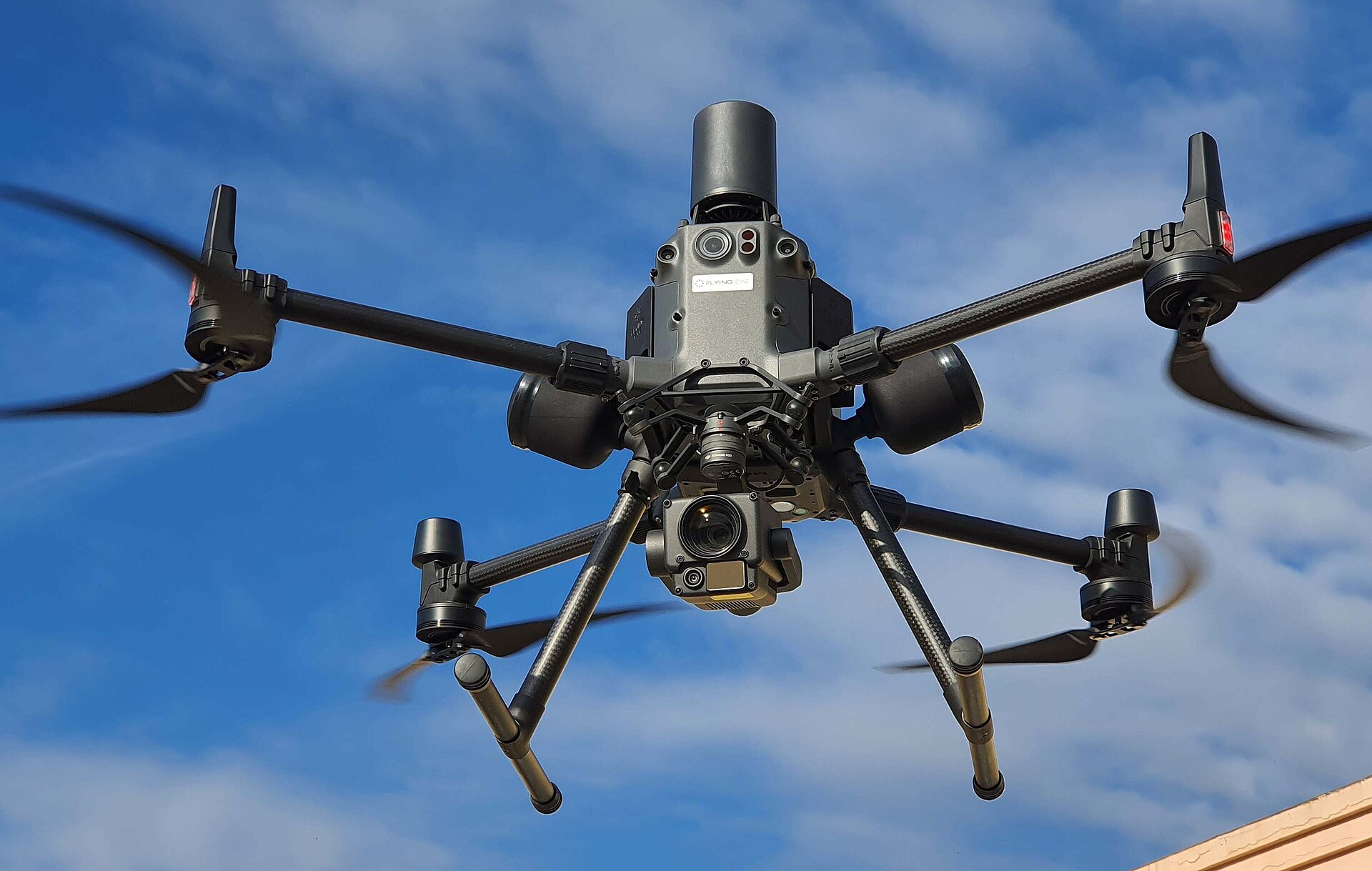
UAS
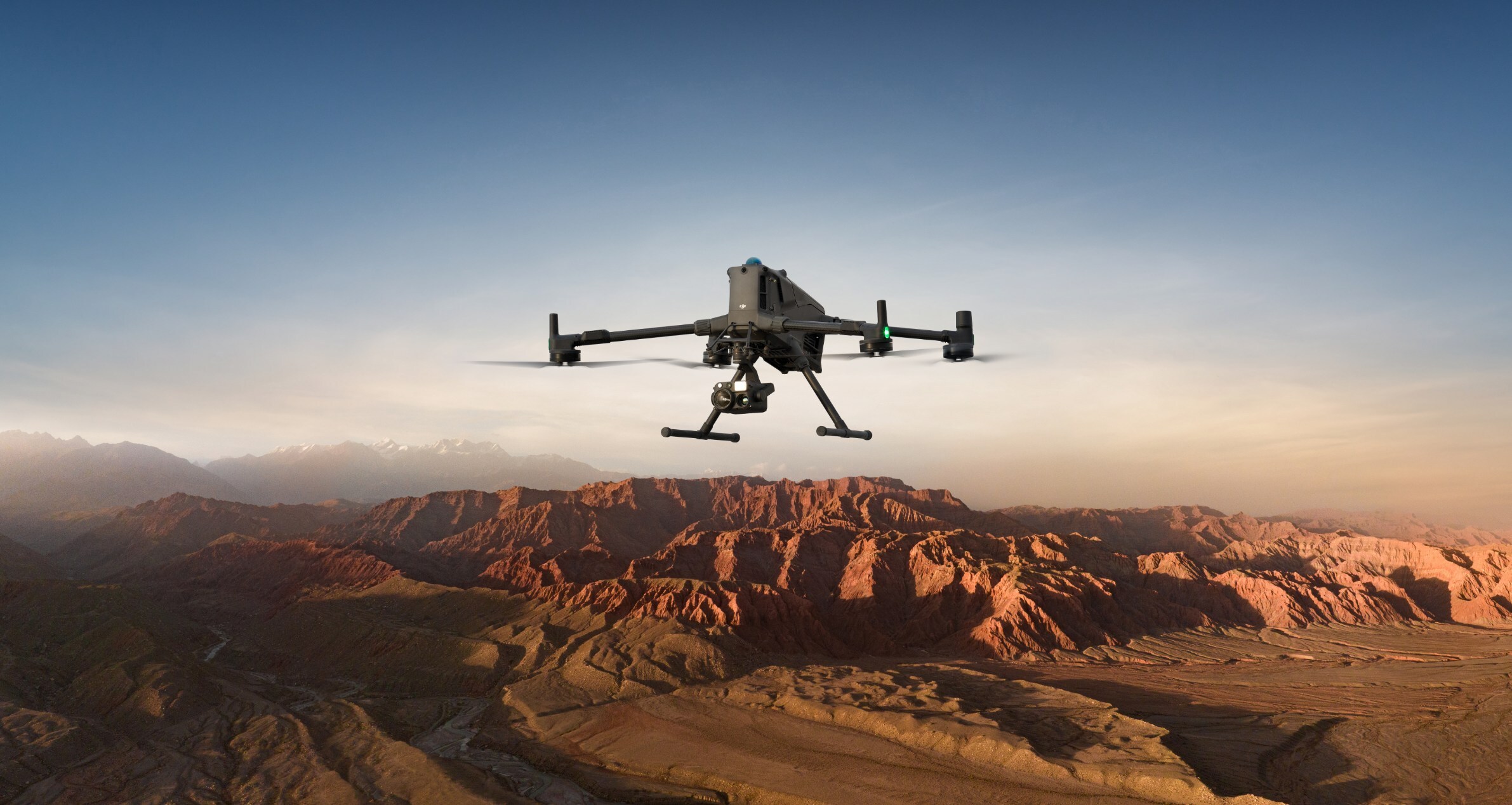
Flagship multi-sensor platform
 UAS
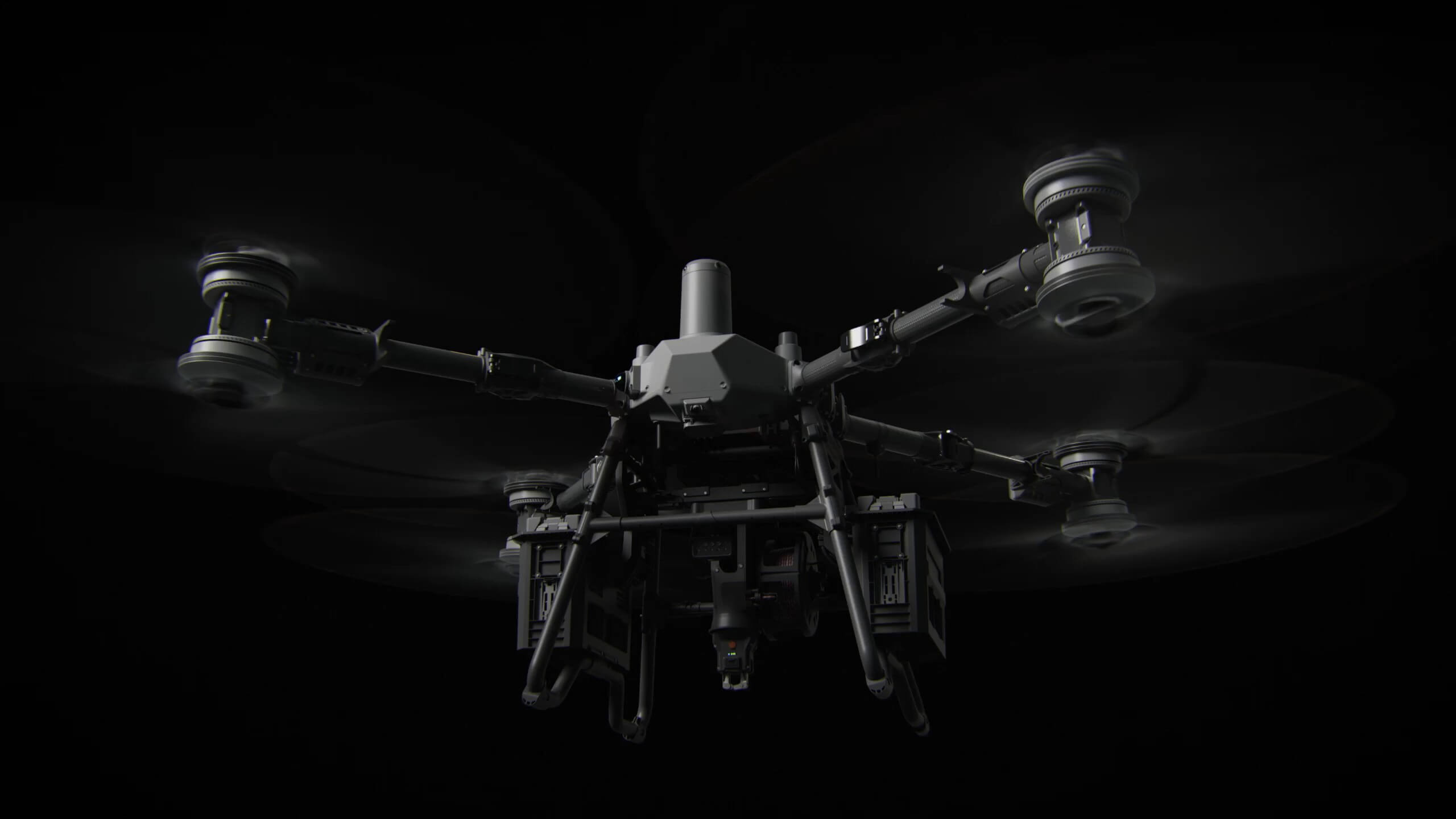
UAS
Heavy-lift logistics
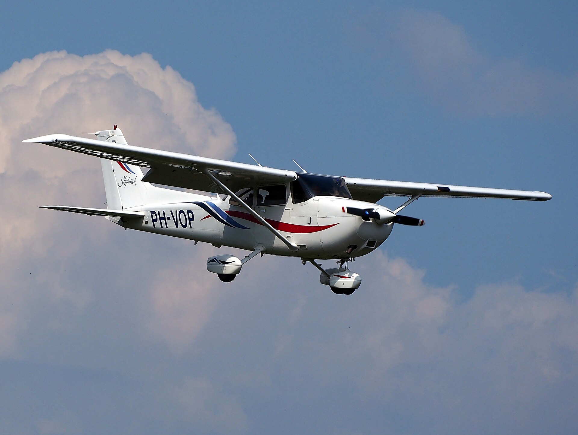 MANNED
Wide-area capture & transit
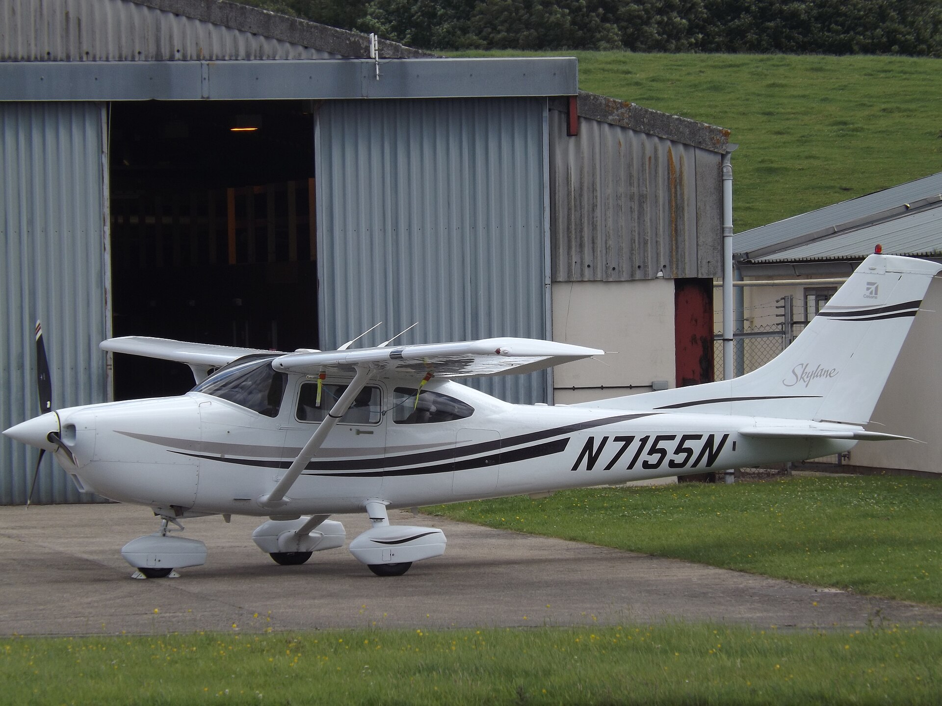 MANNED
High-coverage survey platform
Commercial Tasking
Tell us the territory. We will scope the capture program, fly it, and deliver graded, per-roof intelligence your team can act on the same week.