Government & Public Sector Division
Rapid-response search and rescue, live disaster intelligence, and specialized platform leasing — flown by disciplined crews for agencies that cannot wait on answers.
Mission Posture
Disciplined crews. Auditable procedures. Equipment built to the mission.
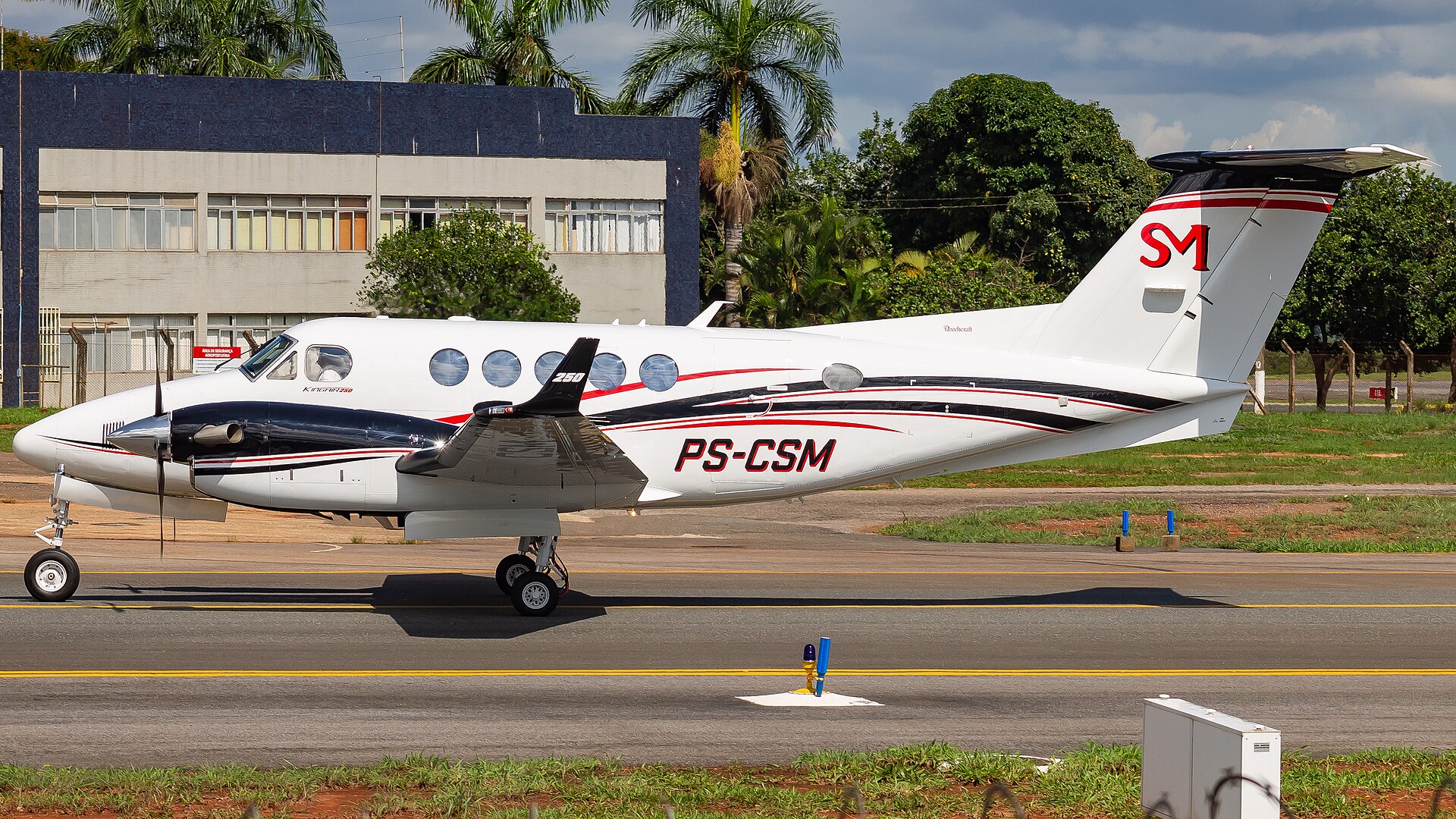
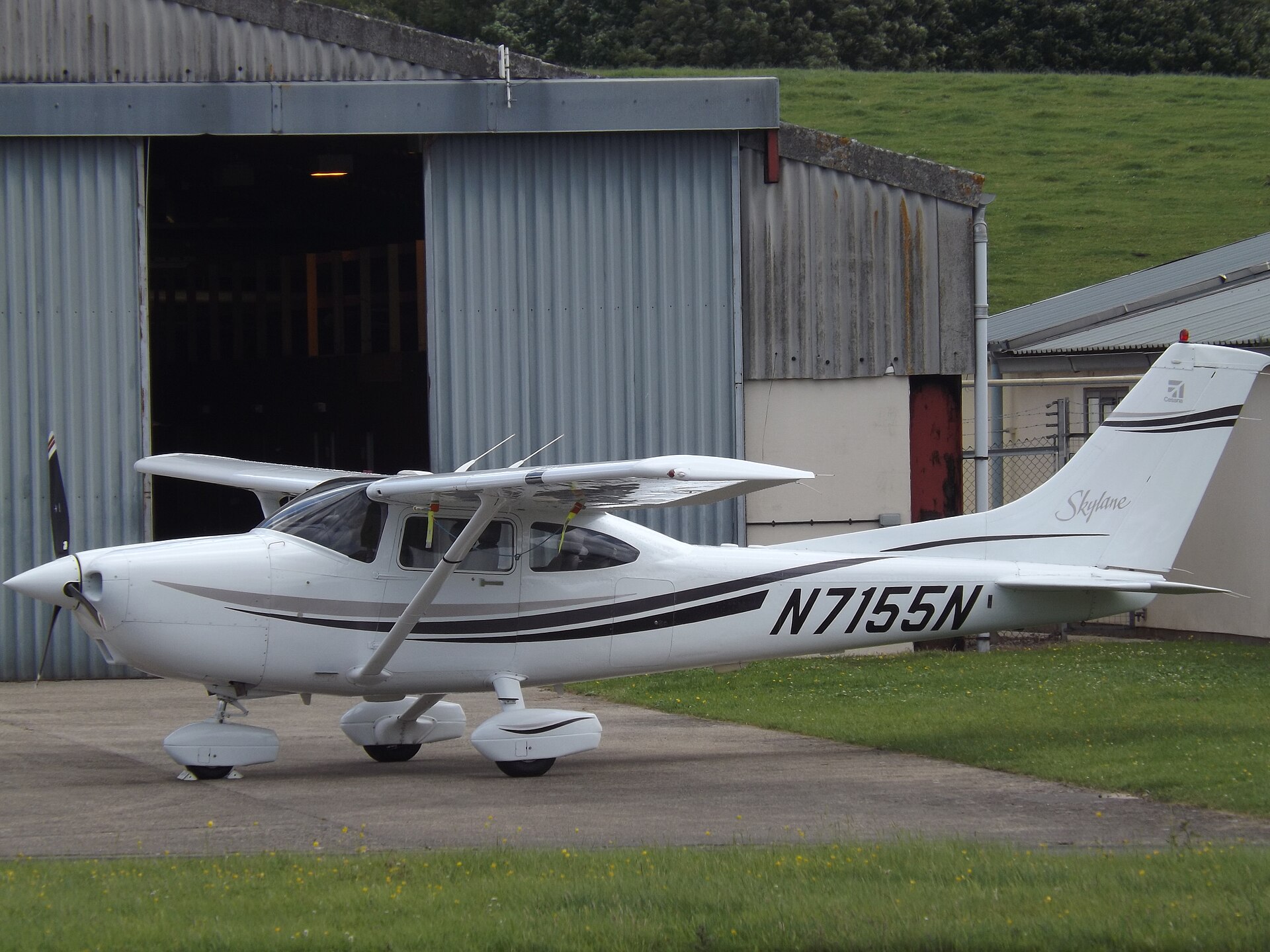
V&M Systems Group operates manned and unmanned platforms under one operations doctrine. Every sortie is planned, briefed, flown, and documented to standard — crews are vetted, maintenance is in-house, and data handling is controlled from sensor to delivery.
When a request comes in, the same tasking desk assigns fixed-wing aircraft, UAS, sensors, and operators. One call. One accountable chain.
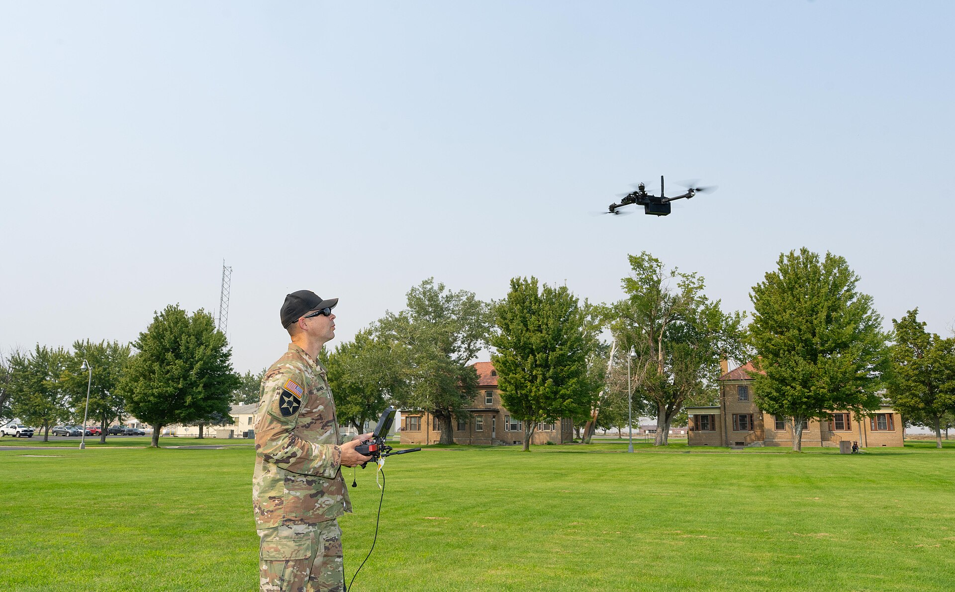
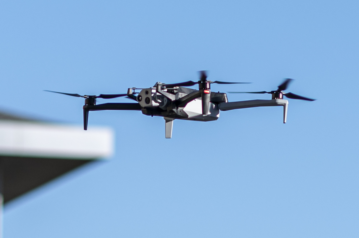
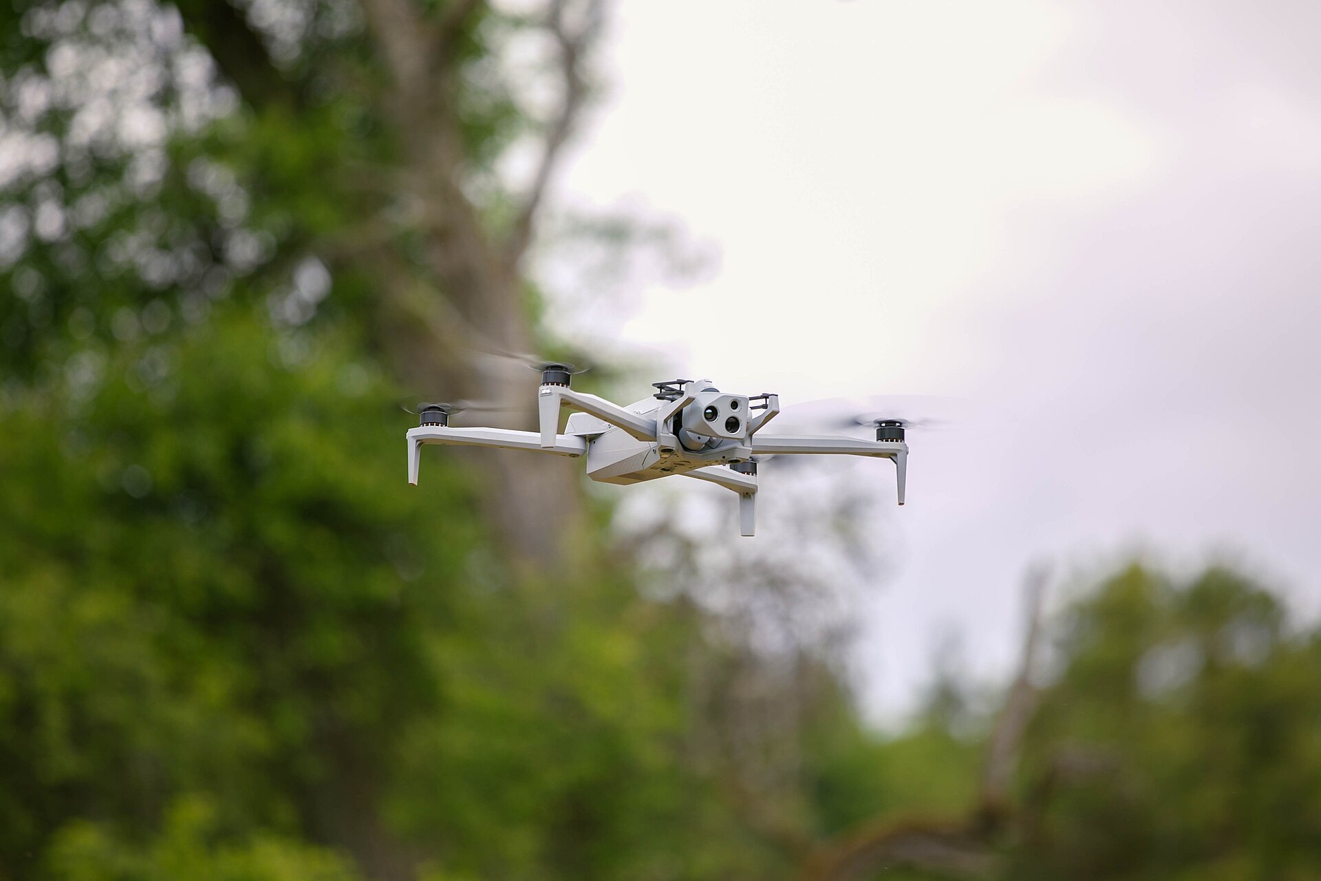
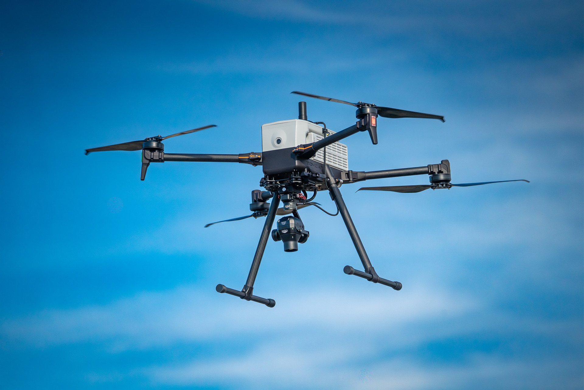
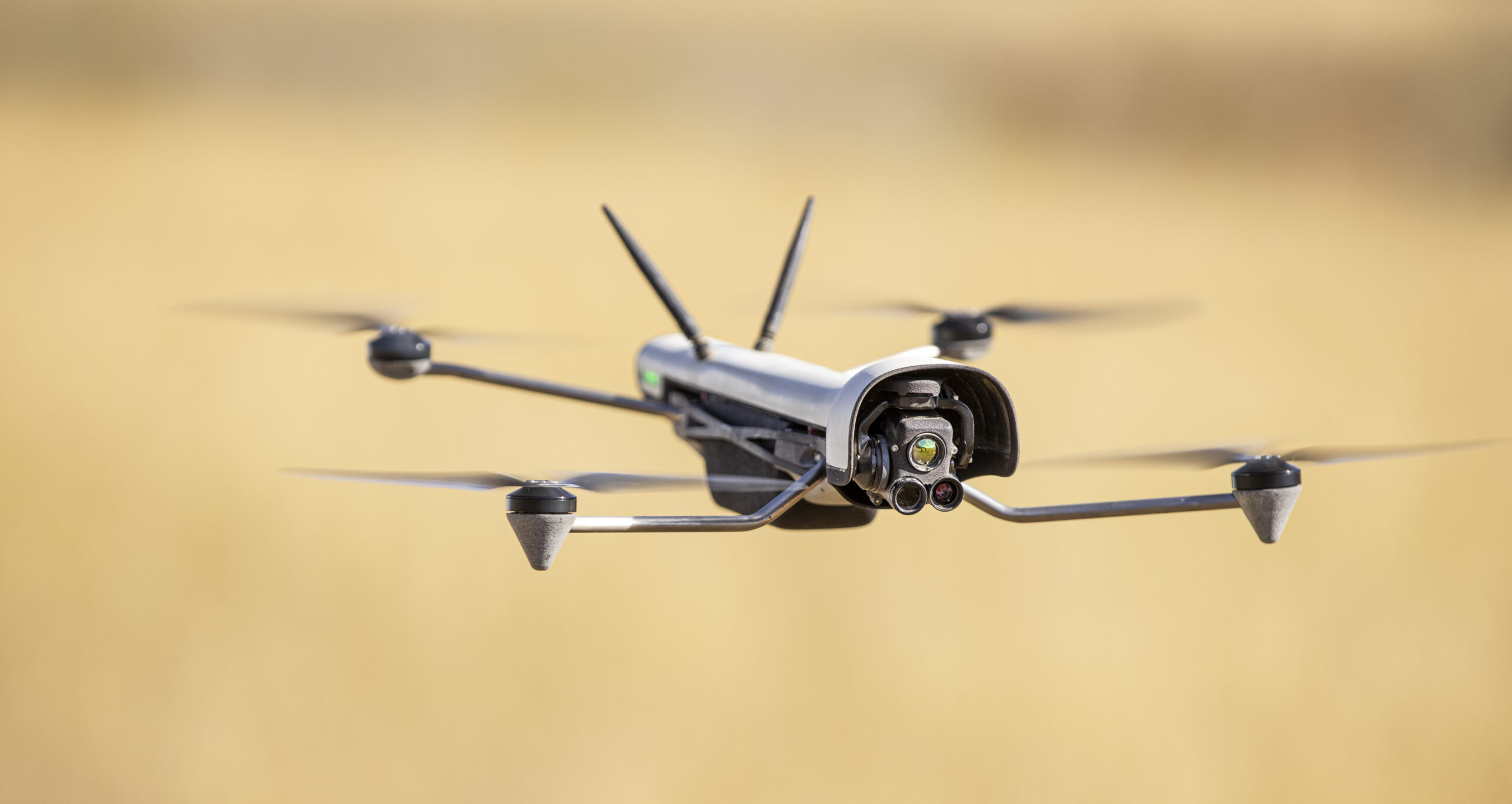
Rapid-Response Search & Rescue
The tasking desk holds a 24/7 alert posture. When a request is accepted, crews brief, aircraft are configured, and the first platform is airborne within hours — not the next duty day.
Manned fixed-wing — Beechcraft King Air 250ER, Cessna 172, Cessna 182 — flies the wide-area grid while the Inspired Flight IF800 Tomcat works low-level under weather and into terrain the fixed-wing cannot reach. Two altitudes, one picture.
Ultra-zoom optics read detail from standoff distance. Thermal sensors separate a heat signature from cold ground, day or night. Every frame is stamped with position and time.
High-resolution LiDAR strips canopy and terrain from the scene, exposing drainages, trails, clearings, and landmarks the eye misses — the features that yield search clues and narrow the grid.
Target Located
Search produces coordinates, not headlines. When a target is located, V&M holds overhead — streaming live video, marking position, and vectoring ground and air rescue assets straight to the point.
Live Disaster Intelligence
Wildfire Monitoring
Ultra-zoom HD video streamed live over the fire line gives commanders the perimeter as it moves — spot fires, flanks, and the terrain and fuel ahead of the front that indicate where the fire is likely to spread.
Damage Assessment
Flood, wind, and storm events are surveyed from altitude while conditions on the ground are still impassable. Agencies see inundation extent, cut roads, and compromised structures before the first truck rolls.
FEED 02 — INUNDATION EXTENT · 30.4213° N, 91.1874° W
Feed to Command
Live video and mapping products flow through the V&M ATLAS platform to incident command as they are captured. Commanders watch the same picture the sensor operator sees — no wait for landing, download, or processing.
Live Aerial Intelligence
The picture command needs, while the event is still moving.
FEED 01 — ACTIVE · EO/THERMAL · STREAMING TO EOCObservation
Program details available to authorized agencies on request.
Leasing & Custom Integration
Lease aircraft from the V&M roster configured to the mission — with specialized sensors and equipment integrated at request. Fixed-wing or UAS, delivered ready to task.
In-house engineering develops and integrates new sensor and equipment packages tailored to exact mission requirements. If the payload does not exist yet, we build it onto the airframe.
Every lease can include the people who fly and keep the aircraft — Part 91 pilots, FAA Part 107 certified remote pilots, sensor operators, and in-house maintenance crew.
Platform Roster
Scroll to traverse the flight line →
Operating Discipline
Vetted crews. Documented procedures. Secure data from sensor to delivery.
Standing By
Request a capability briefing for your agency. We will walk through platforms, sensors, procedures, and response timelines against your mission set.